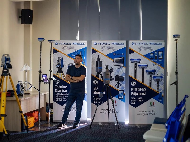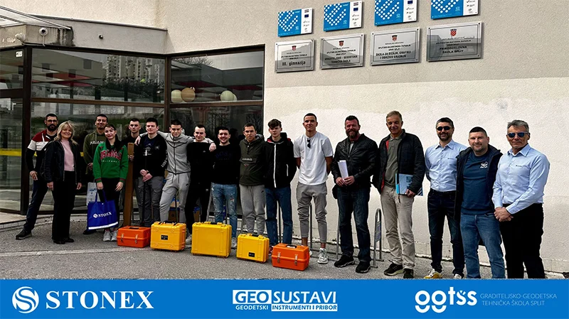
Geodetske škole imaju ključnu ulogu u pružanju učenicima potrebnog znanja i vještina u području geodezije.Integracija najnovijih
geodetskih instrumenata u takve obrazovne ustanové može značajno poboljšati iskustvo učenika i bolje ih pripremiti za primjenu u
stvarnom svijetu.Najnoviji geodetski instrumenti nude napredne značajke i mogućnosti koje mogu pružiti studentima intenzivnije
iskustvo učenja.Korištenjem ovih instrumenata, studenti mogu steći praktično iskustvo u prikupljanju podataka, analizi itumačenju, što su ključne vještine u području geodezije.
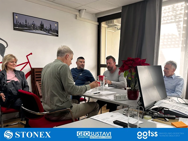
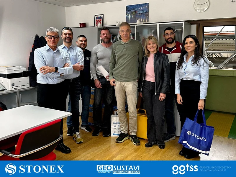
U suradnji sa STONEX S.r.l. Italija, geodetskoj školi u Splitu isporučili smo najnovije totalne stanice, teodolite i GNSS prijemnike.
| Sign In | Join Free | My himfr.com |
|

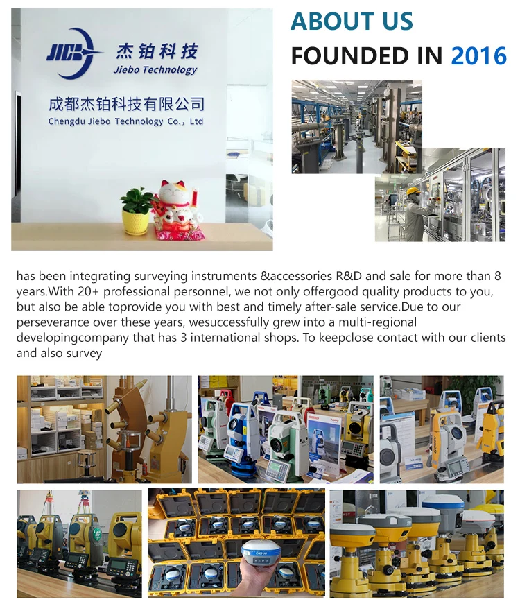
Chengdu Jiebo Technology Co., Ltd.
CHENGDU JIEBO TECHNOLOGY CO.,LTD Main categories: GPS measuring instrument,total station,Level,Theodolite,Measuring accessories
Verified Supplier
2 Years